Reserve Lands
Our three reserves totaling 6,130 acres encompass a range of landscapes and features, from rolling hills and flat fields to steep slopes, rivers and woodlands. Land use on Coldwater IR#1 and Paul’s Basin IR#2 is dominated by agriculture and forestry, whereas Gwen’s Lake IR#3, the smallest of our reserves, is a small upland area used for recreation by members and visitors to the area. IR#1 is the location of our main village and residential area.
Much of our land base is held by member families through traditional holdings, a type of land tenure passed through generations and recognized by the Band. Traditional landholders have been involved in planning for future development of Coldwater lands and, through the Lands & Resources Policy, will be working to resolve issues surrounding individual interests and collectively owned, or Band-owned lands.
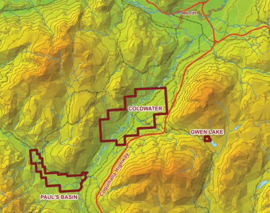
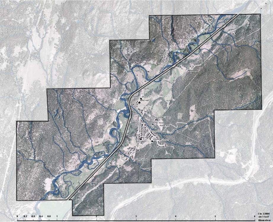
Coldwater IR#1
Coldwater IR#1 is the largest of the reserves (4,538 acres), and is home to our main community, as well as the majority of our industrial operations, infrastructure, buildings and services.
PERCENT OF TOTAL RESERVE LAND USE
91.6% = Agriculture/Forestry/Range Land
6.2% = Village and Residential
2.1% = Industrial
 Paul’s Basin IR#2
Paul’s Basin IR#2 (1,549 acres) is also used primarily for agriculture and forestry. There is a small residential component to the reserve. There are 11 residential lots, each with a separate septic system and independent water wells.
PERCENT OF TOTAL RESERVE LAND USE
98.6% = Agriculture/Forestry/Range Land
1.4% = Residential and Roads

Gwen Lake IR#3
Gwen Lake IR#3 is the smallest of the reserves, at just 43 acres. The reserve is primarily used for cultural activities, recreation and leisure by Coldwater members and some visitors. Members have expressed interest in developing a campground for recreational economic development purposes.